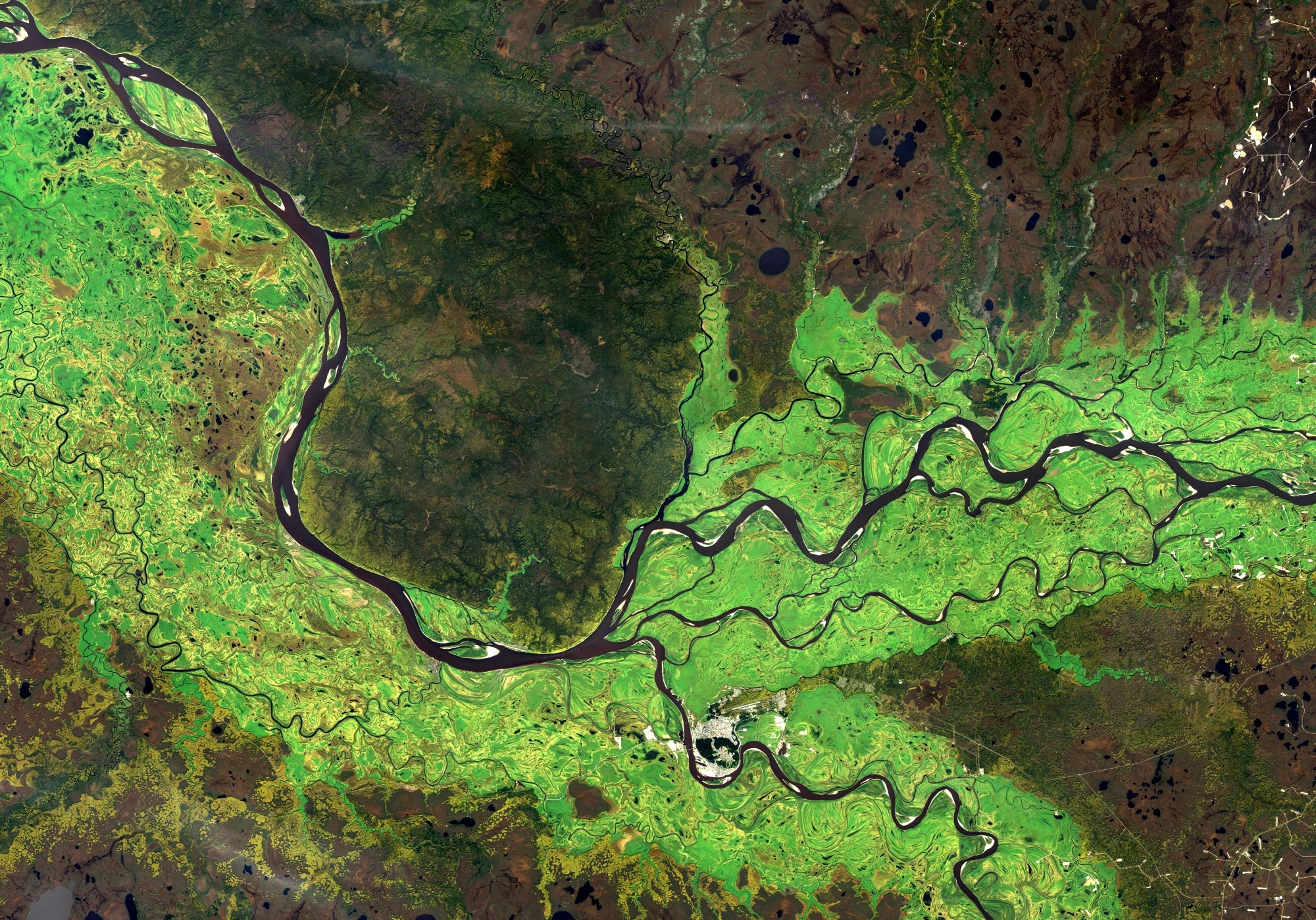
In an article published in the journal Scientific Reports, researchers from China introduced a deep inverse convolutional neural network-based semantic classification approach specifically tailored for land cover remote sensing images. They aimed to address the imbalance of land cover categories within the images and enhance classification accuracy and precision, focusing on improving the recognition of minority categories.
 Study: Enhanced Land Cover Classification in Remote Sensing. Image credit: Voran/Shutterstock
Background
Remote sensing technology is pivotal for capturing Earth surface data from a distance, allowing for the monitoring and analysis of land cover changes. By utilizing sensors, it gathers crucial information like land cover types, vegetation health, and changes in the landscape.
Semantic classification in remote sensing images plays a crucial role in categorizing pixels into distinct land cover classes, enabling detailed landscape and environmental analysis. Typically, this process involves acquiring images from satellites or aircraft to gather data about Earth's surface features.
Accurate classification of land cover is essential across various applications, including urban planning, agriculture, environmental surveillance, and disaster management. However, traditional classification methods often encounter challenges with imbalanced data. Addressing these challenges is crucial for improving the accuracy and reliability of remote sensing-based land cover classification.
About the Research
In the present paper, the authors presented a novel architecture for multi-target semantic classification in remote sensing images of land cover. Their methodology leveraged a deep inverse convolutional neural network to enhance classification accuracy, specifically targeting the challenge posed by the imbalance of land cover categories, with a focus on improving the recognition of minority categories present in the images.
Unlike conventional deep convolutional neural networks that typically map input pixels to feature maps, the newly presented method performs an inverse operation. It reconstructs high-resolution feature maps from low-resolution input images, thereby enabling more precise and detailed segmentation. The network architecture comprises multiple layers of deconvolutional and up-sampling operations, facilitating the capture of intricate details within the remote sensing images.
An enhanced sequential clustering algorithm was employed to extract comprehensive semantic features crucial for effective discrimination between different land cover classes. These features encompass a wide array of characteristics including color, texture, shape, and size information. By considering multiple features simultaneously, the model captures a more comprehensive representation of the land cover types present in the images.
Additionally, the study utilized a large dataset of multispectral remote-sensing images covering diverse landscapes. This dataset provides a wide range of land cover classes, allowing a thorough evaluation of the proposed method's efficacy. The deep inverse convolutional neural network was trained using annotated ground truth data, ensuring precise label assignments for the training images. Furthermore, the model was evaluated using various metrics, including overall accuracy, precision, recall, and F1-score, to assess its performance in accurately classifying the land cover in the remote sensing images.
Research Findings
The outcomes showed that the newly developed semantic classification model achieved high accuracy, precision, recall, and F1-score in classifying land cover types in remote sensing images and outperformed some of the traditional methods. It effectively captures complex land cover boundaries, such as the transition zones between forest and urban areas. Moreover, it demonstrated robustness across different environmental conditions, including variations in lighting, cloud cover, and seasonal changes.
By addressing the imbalance of land cover categories, the method demonstrates enhanced performance in recognizing minority classes within the images. Through the integration of depth deconvolution neural networks, feature extraction, and classification using the random forest algorithm, researchers demonstrated a robust approach to semantic classification in remote sensing imagery.
Applications
The research has significant implications for various applications in the field of remote sensing. One of the key beneficiaries of this research is urban planners. With more accurate land cover mapping, urban planners can make informed decisions regarding infrastructure development and resource management. Accurate land cover information allows them to identify suitable areas for construction projects, plan transportation networks, and manage natural resources effectively. This can lead to more sustainable and efficient urban development.
The agricultural sector can also benefit from the precise land cover classification proposed in the research. By monitoring crops and predicting yields based on accurate land cover information, farmers can optimize their agricultural practices. This includes making informed decisions about irrigation, fertilization, and pest control. With better crop monitoring and yield prediction, agricultural sectors can improve productivity, reduce costs, and ensure food security.
Environmental monitoring agencies can leverage the improved classification accuracy for assessing changes in ecosystems and biodiversity conservation. Accurate land cover mapping allows them to monitor and analyze the impact of human activities on natural habitats. This information is crucial for identifying areas of conservation priority, implementing effective conservation strategies, and monitoring the success of conservation efforts over time. By understanding changes in ecosystems, environmental monitoring agencies can make informed decisions to protect biodiversity and maintain ecological balance.
Conclusion
In summary, the novel approach proved effective and efficient for land cover classification. By addressing the challenges of imbalanced data and utilizing advanced neural network architectures and semantic segmentation techniques, the study paved the way for a more accurate and insightful analysis of land cover types in remote sensing imagery.
Additionally, the researchers acknowledged limitations and challenges and suggested directions for future work. They recommended further refining the method to handle complex backgrounds more effectively and scaling it for real-time processing of large-scale remote sensing data.