In an article published in the journal Communications Earth & Environment, researchers from the Netherlands demonstrated the use of full seismic waveforms instead of scalar intensity parameters to significantly improve the prediction of landslides triggered by earthquakes. They employed a deep learning model based on a transformer architecture to analyze the synthetic waveforms from the 2015 Gorkha earthquake in Nepal and compared it with a standard model that utilized only peak ground velocity as a proxy for shaking intensity.
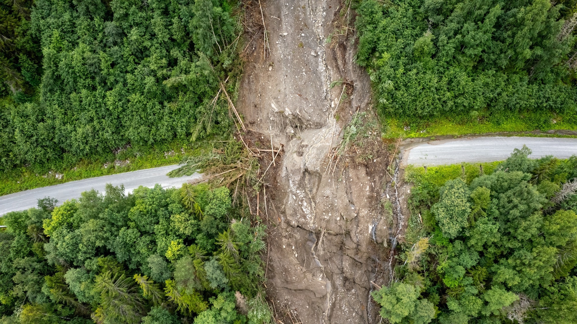
 Study: Landslide Prediction with Full Seismic Waveform Analysis Using Deep Learning. Image credit: Jakub Stanek/Shutterstock
Background
Landslides are one of the most devastating consequences of earthquakes, especially in mountainous regions. They can cause massive damage to infrastructure, the environment, and human lives. Therefore, predicting where and when landslides may occur during an earthquake is crucial for disaster risk reduction and emergency response.
Regional-scale landslide prediction models face many challenges, such as the lack of geotechnical data, the complexity of the ground motion, and the uncertainty of the earthquake source. Most existing models use simplified proxies of the ground motion, such as peak ground velocity or acceleration, to estimate the shaking intensity and the slope stability. However, these proxies neglect the contribution of other characteristics of the seismic waves, such as frequency, phase, amplitude, and duration, which may play a role in triggering landslides.
About the Research
In the present paper, the authors designed a novel data-driven model that incorporates the entire ground motion signal without any scalar simplification to predict coseismic landslides. They used a modified transformer neural network, a deep learning model that can capture long-range dependencies in time-series data, to process the synthetic waveforms from the 2015 Gorkha earthquake in Nepal. The earthquake, with a magnitude of 7.8, occurred along the Main Himalayan Thrust fault and triggered more than 24,000 landslides over an area of 28,000 km2.
The synthetic waveforms were obtained from a previous study that simulated the ground motion using a finite fault model and a three-dimensional (3D) topography. The researchers also included terrain and lithological information as static covariates in their model. Moreover, they compared their full waveform model (Mod3) with benchmark models utilizing either waveform or peak velocity alone (Mod1 and Mod2), as well as a standard model using only peak ground velocity as a shaking intensity proxy (Mod4).
The authors evaluated the performance of the models using various metrics, such as the area under the curve (AUC) of the receiver operating characteristic (ROC) curve, the accuracy score, the intersection over union (IOU) score, and the measure of the harmonic mean of precision and recall (F1 score).
Research Findings
The outcomes showed that Mod3 outperformed the peak velocity model Mod4 by 16% across all metrics, indicating a higher capacity to distinguish between stable and unstable slopes. It also highlighted a better spatial pattern of landslide probabilities, with less smoothing and more contrast than the peak velocity model. Moreover, it was able to predict landslides occurred on gentler slopes (~25°) and lower shaking (~0.2 m/s), which were missed by the peak velocity model. These landslides were mostly located near valleys, streams, and midslope drainages, where the full waveform information was more relevant than the single intensity measure.
The authors also used an explainable artificial intelligence (XAI) approach to understand how the full waveform model used the waveform information to predict landslides. They calculated the explainability scores for each time step of the waveforms and compared them with the peak velocity arrival time. Moreover, they found that the full waveform model assigned high scores not only to the time steps close to the peak velocity but also to those before and much after it. This suggests that the full waveform model was able to capture the influence of different phases and durations of the seismic waves on slope stability, which the peak velocity model neglected.
The paper demonstrated that using the full waveform information can enhance the prediction of coseismic landslides. They showed that their model can provide insights into the physical mechanisms behind the landslide occurrence by identifying the relevant segments of the waveform and their spatial distribution. This can help to understand the role of different factors such as frequency, phase, amplitude, and duration of the ground motion, as well as the interactions with the topography and the subsurface structure.
Conclusion
In summary, the novel data-driven model using full seismic waveforms instead of scalar intensity parameters efficiently predicts coseismic landslides. It effectively combines a modified transformer neural network with terrain and lithological factors and significantly improves performance metrics over a standard model that uses PGV. The authors demonstrated the untapped potential of full waveform information and the applicability of transformer neural networks and explainable artificial intelligence to geoscientific problems.
The researchers acknowledge the limitations and challenges, such as the dependence on reliable and fast ground motion simulations, which are not always available or feasible, especially in data-scarce regions. Therefore, they suggested further testing and development of their approach for different terrains, earthquake magnitudes, and rupture mechanisms, as well as exploring the effects of frequency content and duration of ground shaking on landslide size and threat.